Professional drone services across NSW, delivering high-resolution multispectral and visual aerial data. Empowering smarter decisions in agriculture, construction and land management. From crop health mapping to infrastructure inspections, we can do it all.
Multispectral imaging, mapping, contour & elevation maps, crop monitoring, variable rate application mapping
Monitor animal movement, habitat changes, and environmental impact with safe, low-disturbance aerial surveillance.
Fast, accurate drone inspections for infrastructure, equipment and site assets for record keeping.
Drone support for inspections, site analysis and aerial visuals across commercial sectors.
Survey sites, track progress, and improve safety with real-time aerial data across large-scale projects.
Capture cinematic aerial footage and high-resolution images for marketing, real estate and media content.
Fast, secure project records powered by in-house image processing and data storage
Need something unique? We tailor drone services to meet your specific project requirements — just ask.
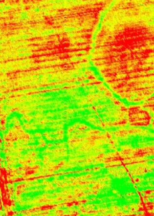
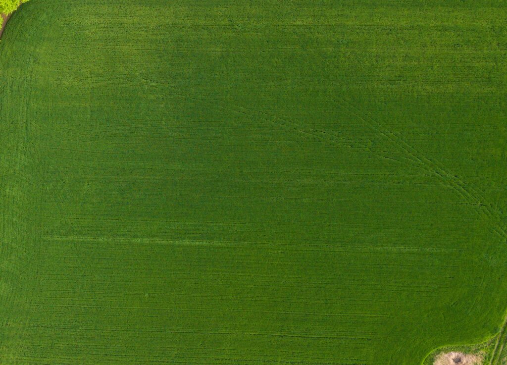
We capture detailed multispectral and RGB imagery ideal for monitoring crop health, variable rate prescription maps and elevation profiles — delivering insights that support smarter farm management.
Our pilots are licensed under CASA Part 101 and fully insured, ensuring every mission meets strict compliance, airspace safety and professional operational standards.
Your data never leaves our hands. We process and deliver high-resolution outputs within 24–72 hours fast, secure and tailored to your project requirements.
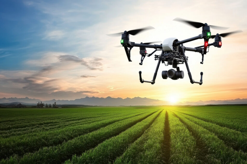
Professional aerial platforms built for precision, reliability, and high-resolution data capture.
Stefan 0434129714
Brendan 0408800449
Located in Coonamble & Gosford
Servicing NSW & Australia Wide
© 2025 Precision Drone Ops PTY LTD | ACN: 685 754 726 | CASA Certified | All Rights Reserved
We’ve received your message and a member of our team will get back to you within 24 hours.
For urgent enquiries, feel free to call us directly at
Stefan : 0434129714
Brendan : 0408800449
We look forward to assisting you!
We’ve received your request and our team will be in touch within 24 hours to confirm all the details.
If your enquiry is urgent, please call:
Stefan : 0434129714
Brendan : 0408800449
Thank you for choosing Precision Drone Ops — we look forward to working with you!