
Civil & Mining Drone Services
🏗️ Drone Services for Civil & Mining Operations
Aerial Data for Safer, Smarter, and More Efficient Operations
Modern civil, construction and mining projects demand data that’s fast to collect, accurate to act on, and safe for teams on the ground. That’s exactly where Precision Drone Ops comes in. We specialise in delivering drone services for civil and mining operations, helping project managers, surveyors and site teams improve planning, reduce risk and track progress with confidence.
Whether you’re managing a large-scale earthworks site, a mining lease, or a government infrastructure project, our drone solutions help you move faster, safer and deliver better results from day one.
Why Drones Are Reshaping Civil & Mining Workflows
⏱️ Faster Data Turnaround
Capture full-site surveys, stockpile volumes, or pre-start scans in a fraction of the time compared to traditional methods.
🛡️ Improved Site Safety
Avoid sending personnel into high-risk areas like slopes, machinery zones or unstable terrain. Our drones gather data without boots on the ground.
🎯 High-Accuracy Mapping
Using RTK-enabled drones like the DJI Mavic 3, we produce centimetre-level data — ideal for layout verification, cut/fill analysis and site modelling.
🔄 No Downtime Needed
Drones operate above live sites without disrupting work, giving contractors, engineers and stakeholders real-time visuals and ongoing oversight.
🛠️ What our Drone services for Civil and Mining Deliver
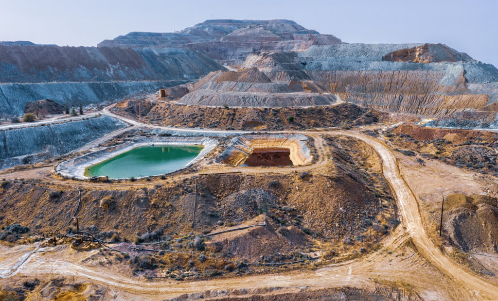
📍 Orthomosaic Site Maps
High-resolution, geo-referenced maps that give you a full visual of the site from above — great for planning, design or comparison over time.🪨 Stockpile & Volumetric Measurements
Quickly calculate stockpile volumes, cut/fill areas, and material usage using 3D terrain models — no manual climbing, taping or guesswork.📸 Progress Tracking & Documentation
Regularly scheduled drone flights provide visual records of work completed, delivery staging, site activity and compliance checks.🚧 Site Planning & Access Management
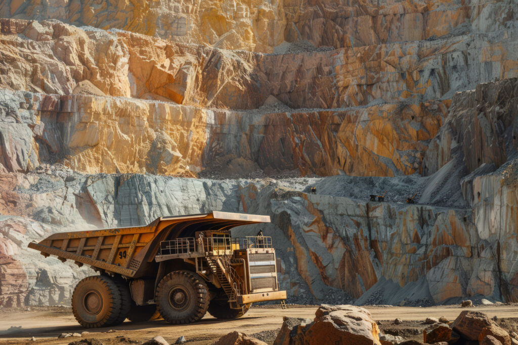
Identify haul routes, safety zones, machinery paths and congestion points with aerial overviews that ground surveys can’t easily capture.🧱 Visual Inspections of Infrastructure or Equipment
Check roads, hardstands, tanks, conveyors, and structures with high-res imagery from multiple angles — reducing the need for lifts or scaffolding.🛰️ Topographic Models & Elevation Analysis
Produce detailed digital elevation models (DEMs) or digital surface models (DSMs) to support grading, drainage and surface flow design.
🧩 Use Cases for Civil & Mining Drone Services
Earthworks volume validation
Pre-start and site layout scans
Road construction progress
Conveyor, tank, or crushing plant inspections
Drainage and flow mapping
Contractor progress verification
Environmental monitoring and erosion tracking
Pre- and post-blast documentation

🧭 How It Works
Pre-Flight Planning
We evaluate your site layout, scope of work, and airspace to design a CASA-compliant flight plan that ensures full coverage and safety.On-Site Aerial Capture
Using drones equipped with RTK GPS, LiDAR-style sensors or RGB payloads we fly the mission with zero interference to your ongoing operations.In-House Processing & QA
All data is processed internally — ensuring accuracy, fast delivery and confidentiality.Tailored Delivery
Whether you need volumetric reports, 2D maps, 3D models or time-lapse progress visuals, we format the output to suit your systems and stakeholders.
📈 Built for Civil, Mining, and Industrial Clients Who Expect More
We proudly support:
Civil engineering firms and infrastructure planners
Earthworks contractors and site supervisors
Mining operations and exploration teams
Councils, roadworks, and asset managers
Surveyors, geotechnical engineers and HSE consultants
🔐 Safe. Insured. CASA Certified
All flights are conducted by licensed drone operators in accordance with CASA Part 101 regulations. We carry full public liability insurance and conduct detailed risk assessments for every site — with supporting documentation for your HSE, audit or regulatory needs.