Precise, Smart, Built For Results
We deliver intelligent, high-quality drone services that helps you make better decisions, faster.
Our Drone Services
High-Precision Data. Fast Turnaround. Scalable for Every Project.
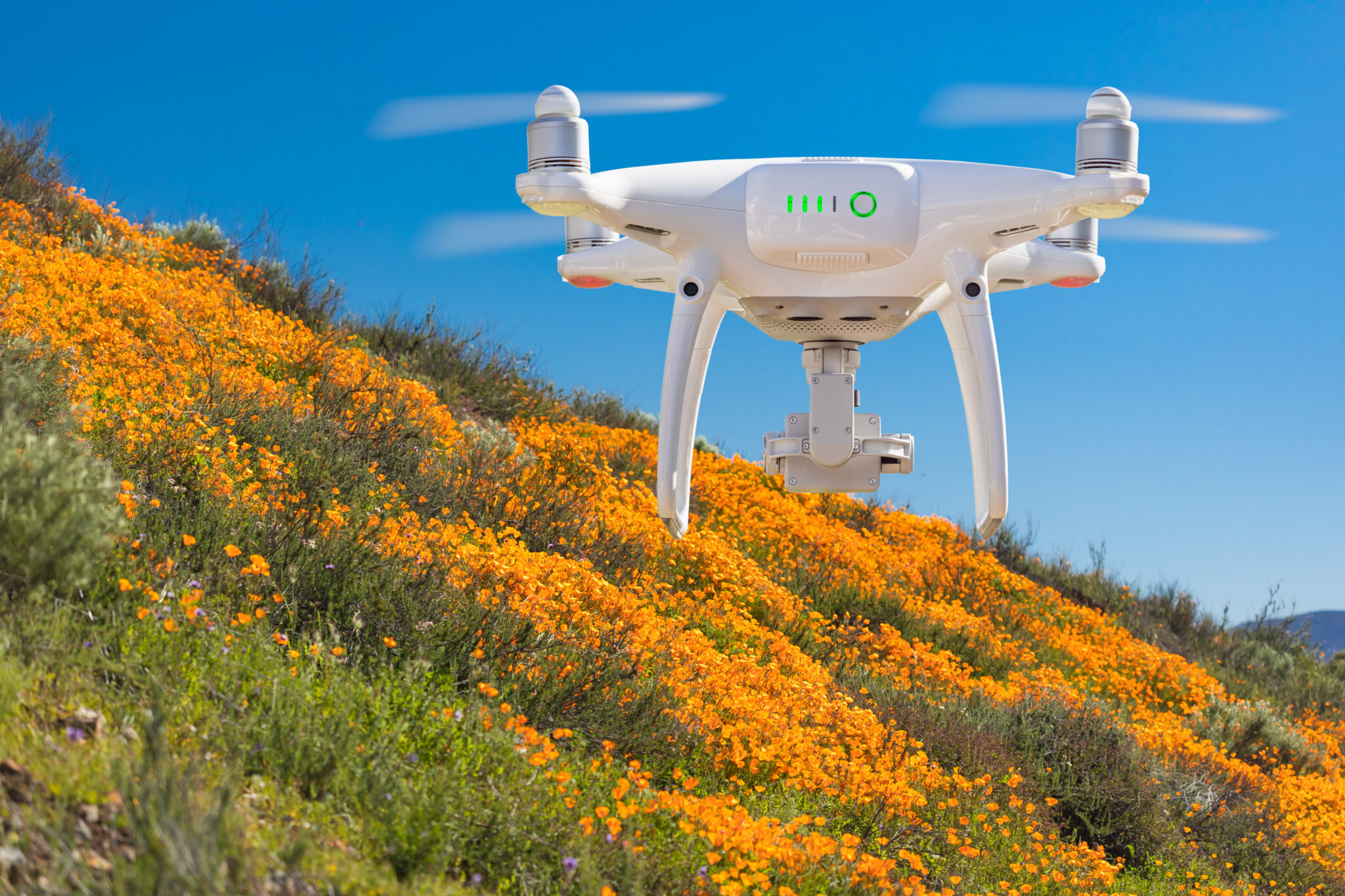
At Precision Drone Ops, we deliver accurate, high-quality drone services using advanced drone technology. Whether you’re managing crops, tracking wildlife, or inspecting infrastructure, our drone services are tailored to help you make better decisions — faster.
.
Precision Agriculture
Empower your farm with data-driven decisions. Our agricultural drone services combine multispectral sensors and high-resolution mapping to deliver:
NDVI crop health scans
Elevation and contour maps
Variable rate application zones
Seasonal crop monitoring
As a result, you can improve yield, optimise inputs, and manage paddocks with full clarity.
Wildlife Monitoring
Monitor wildlife movement, habitat changes, and ecological impacts — without disturbing the land. We support:
Fauna tracking
Vegetation and erosion surveys
Conservation planning and remote monitoring
Our drones capture detailed aerial imagery and video to support councils, researchers, and environmental professionals.
Asset Management
Inspect, document, and monitor key assets safely and efficiently. Our drone inspection services include:
Fences, irrigation systems, and pipelines
Buildings, towers, tanks, and infrastructure
Visual overviews for maintenance and compliance
In addition, our high-resolution mapping gives you an up-to-date digital record of your assets at all times.
Commercial
From logistics and utilities to real estate and marketing, our commercial drone services are tailored to your business needs:
Project documentation and progress tracking
Aerial inspections for safety and reporting
Marketing-ready aerial visuals and photos
Therefore, we help you work smarter with fast, scalable visuals that fit your workflow.
Civil & Mining
Stay ahead of complex operations with high-precision aerial data. We offer:
Volumetric surveys and stockpile calculations
Terrain modelling and progress tracking
Safety monitoring and site documentation
As a result, you can reduce site time, improve planning, and manage large projects with confidence.
Photography & Videography
Get stunning cinematic footage and crisp aerial photography — perfect for:
Marketing campaigns
Project milestones and documentation
Creative content and promotional visuals
Professional editing is also available for seamless, branded content delivery.
In House Data Processing
We manage your data internally — with full control from capture to final file. Our pipeline includes:
Image stitching and 3D modelling
Secure cloud storage
Fast turnaround with no outsourcing
Because of this, your project data stays accurate, private, and always accessible.
Custom Solutions
Have a unique project in mind? Whether you’re testing new methods or need a one-off technical job, we’ll tailor:
Drone hardware
Flight planning
Data capture and analysis
If you can dream it, we can map it. Just tell us what you need.
Not Sure Where to Start? Let’s Guide You Through.
Every project is different — and that’s exactly how we operate. Whether you’re scanning a paddock, monitoring wildlife, or inspecting infrastructure, our team will recommend the right tools and workflow for the job.
Explore the service above that fits your goals, or contact us directly for tailored support.