The Future Of Precision Agriculture Is Here!
Maximise Yields, Minimise Waste — Powered by Precision Data
🌾 The Future Of Precision Agriculture Is Here
Maximise Yields, Minimise Waste — Powered by Precision Data
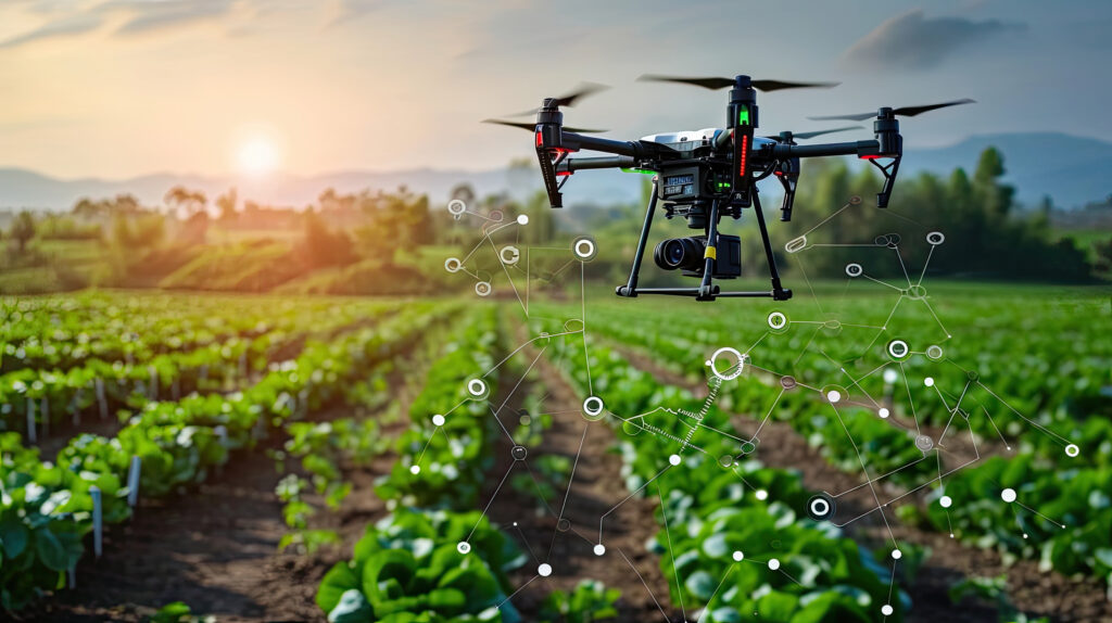
Modern agriculture is evolving — and drone-powered insights are leading the charge.
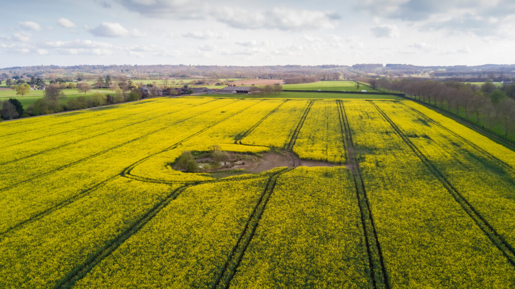
At Precision Drone Ops, we help Australian broadacre farms, vineyards, orchards and hobby farmers gain greater clarity from the sky using NDVI crop health scanning, multispectral imaging, contour mapping and application zoning.
Whether you’re managing 5000 hectares of broadacre farming or 25 hectares of grapes vines, we provide data-driven insights to improve decisions, protect crops and increase yield.

What Our Drone Services Deliver for Your Farm
🌿 NDVI & Multispectral Crop Health Scanning
Detect early signs of crop stress, disease, or nutrient issues — even before they’re visible to the naked eye. This gives you time to respond quickly and reduce yield loss.
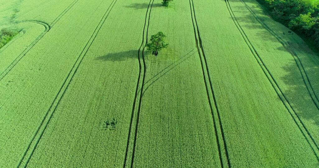
🗺️ Orthomosaic & Field Mapping
Create geo-referenced, high-resolution farm maps with centimetre accuracy. These maps integrate with your farm management software for easy planning and zoning.
🎯 Variable Rate Application Mapping
Our drones generate precise fertiliser, spray, and seeding maps. This ensures optimal input distribution and improves crop uniformity across paddocks.
🏞️ Elevation & Contour Mapping
Use detailed terrain data to design better irrigation and erosion control plans. As a result, you’ll reduce water waste and prevent run-off issues.
📈 In-Season Crop Monitoring
Track your crop at key growth stages. With flexible scan packages, you can monitor plant development and spot emerging issues before they escalate.
Tailored Solutions for Farming Enterprises
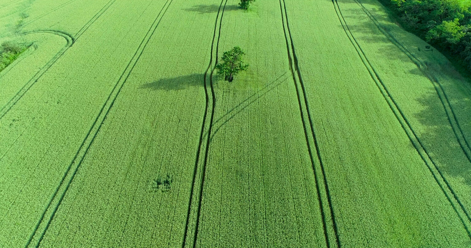
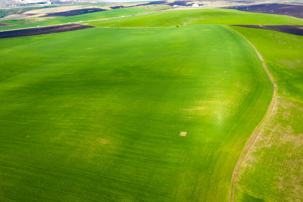
🌾 Broadacre Farming Enterprises
Managing broadacre paddocks demands speed, scale and pinpoint accuracy. At Precision Drone Ops, we support wheat, cotton, chickpeas, canola — and a wide range of other broadacre operations — with services designed to target performance at every hectare:
Full-farm NDVI and multispectral scanning to identify variability, stress, and growth patterns
Precision variable rate mapping for optimised fertiliser, spray, and seeding applications
Elevation and contour modelling for smarter irrigation, drainage, and erosion control
In-season crop benchmarking to monitor health, spot emerging issues early, and guide input strategies
Zone-based input strategies tailored to specific crop conditions across large areas, improving input efficiency and yield consistency
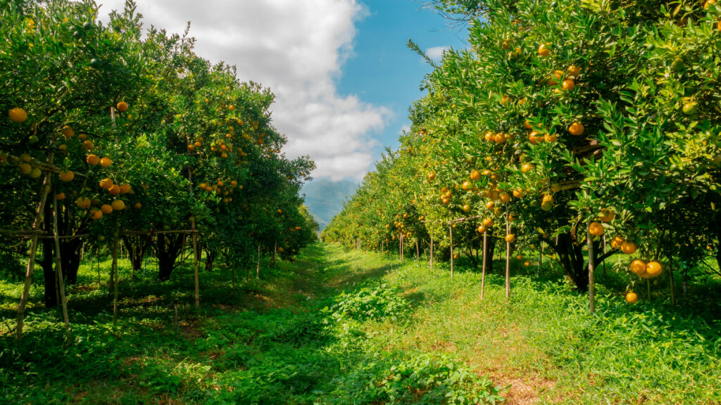
🍇 Vineyards, Orchards & Specialty Crops
High-value specialty crops require precision at every stage. We help vineyard managers, citrus growers, orchardists, and berry farms with:
Canopy health scanning and multispectral analysis to monitor vine and tree vigour
Irrigation performance mapping to detect blockages or imbalances across rows
Targeted spray and fertiliser zoning to protect fruit quality and consistency
Elevation mapping for vineyard drainage, erosion control, and planting design
Growth stage monitoring for optimised harvest planning
Individual plant performance analysis, enabling you to assess the health and development of every tree, vine, or block separately for maximum management precision.
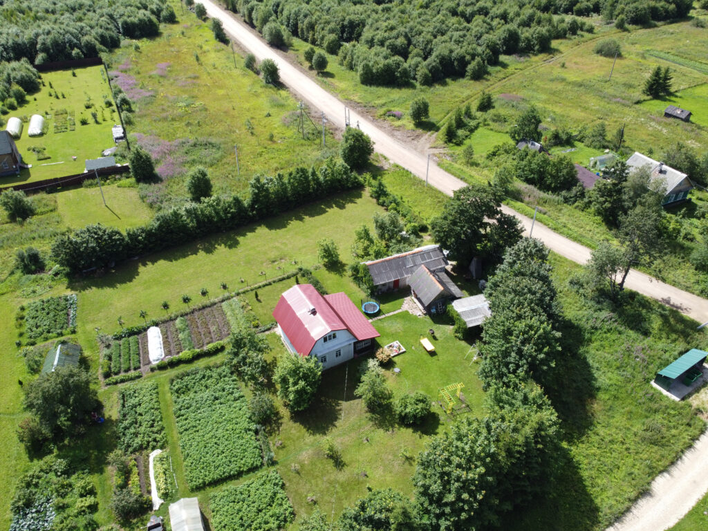
🏡 Hobby Farms & Small Properties
Small-acreage farms and lifestyle properties also benefit from precision aerial insights. We help hobby farmers, rural landowners, and small producers with:
Crop and pasture health scanning using NDVI and multispectral imaging
Property mapping for fencing layout, planning or expansion
Drainage and terrain analysis to improve water movement and prevent erosion
Irrigation performance checks to identify dry patches or overwatering
Seasonal monitoring to track pasture growth, orchard development or property changes
Key Benefits of Drone-Based Precision Agriculture
🎯 Make Smarter Input Decisions
Use NDVI data to apply fertiliser, water, or chemicals only where needed. This helps reduce waste and improve consistency across your crops.
🕵️ Detect Problems Early
Identify stress, pests, or disease before you see symptoms in the field. Early action helps protect yield and minimise damage.
📊 Plan with Confidence
Real-time crop data supports better decisions for spraying, irrigation, and harvest timing — all backed by clear evidence.
🗂️ Build Permanent Records
Every map is geo-tagged and timestamped, creating a digital paddock record you can use for planning, compliance, or benchmarking.
💰 Improve ROI and Yields
With data guiding every input, you can reduce overspending and grow healthier, more profitable crops season after season.
Common Use Case Of Precision Agriculture
✅ NDVI Crop Scanning Across Entire Farms
Scan paddocks during critical stages — emergence, flowering, or pre-harvest. Use NDVI data to identify patterns, spot stress and plan your next move.
✅ Targeted Application Zoning
Drone data reveals variability within fields. This helps you apply fertiliser, spray, or irrigation more precisely and avoid blanket coverage.
✅ Mapping New Blocks or Paddocks
Our high-res drone maps improve accuracy for fencing, layout, zoning, and recordkeeping — from orchards to livestock paddocks.
✅ Early Detection of Stress & Pests
Multispectral insights reveal water stress, pest pressure, and disease hotspots long before you’d notice them in the field.
✅ Smarter Drainage & Irrigation Layout
Contour and elevation maps help improve drainage, prevent pooling, and optimise irrigation layout across any terrain.
✅ Compliance & Audit Readiness
Every scan builds a record. Perfect for audits, insurance claims, or sharing with agronomists.
🚁 Let’s Turn Drone Data into Smarter Decisions on Your Farm
✅ The Power of Multispectral Crop Data
Detect Problems Earlier
Spot disease, drought stress, or nutrient deficiencies before symptoms appear.
Apply Inputs Precisely
Reduce input waste by targeting exactly where fertiliser or spray is needed.
Monitor Growth Over Time
Get seasonal benchmarks from multiple scans — compare crop zones, test strategies, and refine plans.
Build a Historical Record
Create a digital crop archive for compliance, audits, or future planning.
Make Confident, Data-Backed Decisions
No more guesswork. Share insights with your agronomist and take action with confidence.
✅ Multispectral Imaging Is the Future Of Precision Agriculture
By unlocking data that goes beyond visual observation, multispectral imaging helps farmers, agronomists, and land managers make smarter, faster decisions that drive yield, improve efficiency and reduce waste. It’s a core part of modern precision agriculture — and one of the most valuable tools you can add to your decision making toolkit.
Frequently Asked Questions About Our Drone Services in Australia
1. What agricultural drone services does Precision Drone Ops offer?
We provide professional drone services tailored for farms, including:
- NDVI crop health scanning
- Multispectral imaging for stress detection
- Orthomosaic mapping for whole-farm overviews
- Variable rate application (VRA) maps
- Elevation and contour mapping
- Targeted monitoring for vineyards, orchards and broadacre farms
- Custom data processing and reporting for farm management systems
These drone solutions help optimise yields, reduce waste and improve on-farm decision-making.
2. What is NDVI and how does it help with crop management?
NDVI (Normalized Difference Vegetation Index) is a vegetation index that uses infrared light to detect how healthy and photosynthetically active your crops are.
By scanning your fields with a multispectral drone, we can identify:
- Underperforming zones
- Nutrient deficiencies
- Irrigation issues
- Disease or pest stress (before it becomes visible)
NDVI helps you take early, targeted action, ultimately boosting yield and reducing costly input waste.
3. How much does drone crop scanning cost in NSW?
Drone crop scanning in NSW typically starts from $2 per hectare, with minimum booking fees applied. Pricing will depend on job complexity, farm size, scan frequency, flight altitude and data requirements. Contact us today to discuss your project.
4. What types of farms do you work with?
We work with all types of farms across NSW & Australia Wide, including:
• Broadacre operations (wheat, barley, canola, chickpeas, sorghum, cotton)
• Vineyards, with services for canopy health, drainage, and harvest readiness
• Orchards and citrus farms, offering tree-level NDVI scanning and zone-based monitoring
• Market gardens and mixed farms, tailored to diverse crop needs
Every scan is customised to your crop type, farm goals, and the timing of the season.
5. How often should I scan my paddocks with drones?
We recommend 3–6 scans per season, timed to key stages like emergence, flowering, fertilisation and pre-harvest. Regular NDVI scans help monitor changes and fine-tune input strategies. We can create variable rate application for most spreaders/sprayers.
6. Can drones help with fertiliser and spray efficiency?
Yes. Our drone-generated variable rate maps identify zones needing more or less input, helping you apply fertiliser and spray more precisely — cutting waste and costs.
7. Do you offer drone services for vineyards and orchards?
Absolutely. We specialise in vineyard and orchard drone mapping, including canopy health scanning, growth tracking and individual plant performance analysis
8. What drones and sensors do you use for agricultural scans?
We use Enterprise grade Multispectral Drones, which captures five spectral bands including NDVI, NIR and red edge, delivering high-resolution, geo-tagged agricultural data.
9. How fast can you scan a farm and deliver results?
Turnaround times vary based on farm size and job complexity, but most properties are scanned within a few hours, with processed data delivered in 1 to 3 days. Job sizes under 2000HA will have a turnaround of 24 Hours. With faster processing available upon request.
10. Can you integrate drone data into my farm software?
Yes. All mapping outputs are compatible with most farm management platforms (e.g., John Deere Ops Center, Ag Leader, Trimble) via standard GIS formats like GeoTIFF and shapefiles.
11. Do you work with agronomists or farm consultants?
We regularly collaborate with agronomists and crop advisors to align drone insights with input plans, helping deliver measurable results on-farm.
12. Can you scan remote or hard-to-reach properties?
Yes. Our drones are fully portable and can access remote or difficult terrain. We offer services across Australia, including areas with limited infrastructure. No place to far and we will make it work one way or another.
13. Is drone mapping safe for crops and livestock?
Yes. Drone mapping is non-invasive and safe, with no harm to plants or animals. Flights are low-impact, quiet and conducted under CASA-certified procedures.